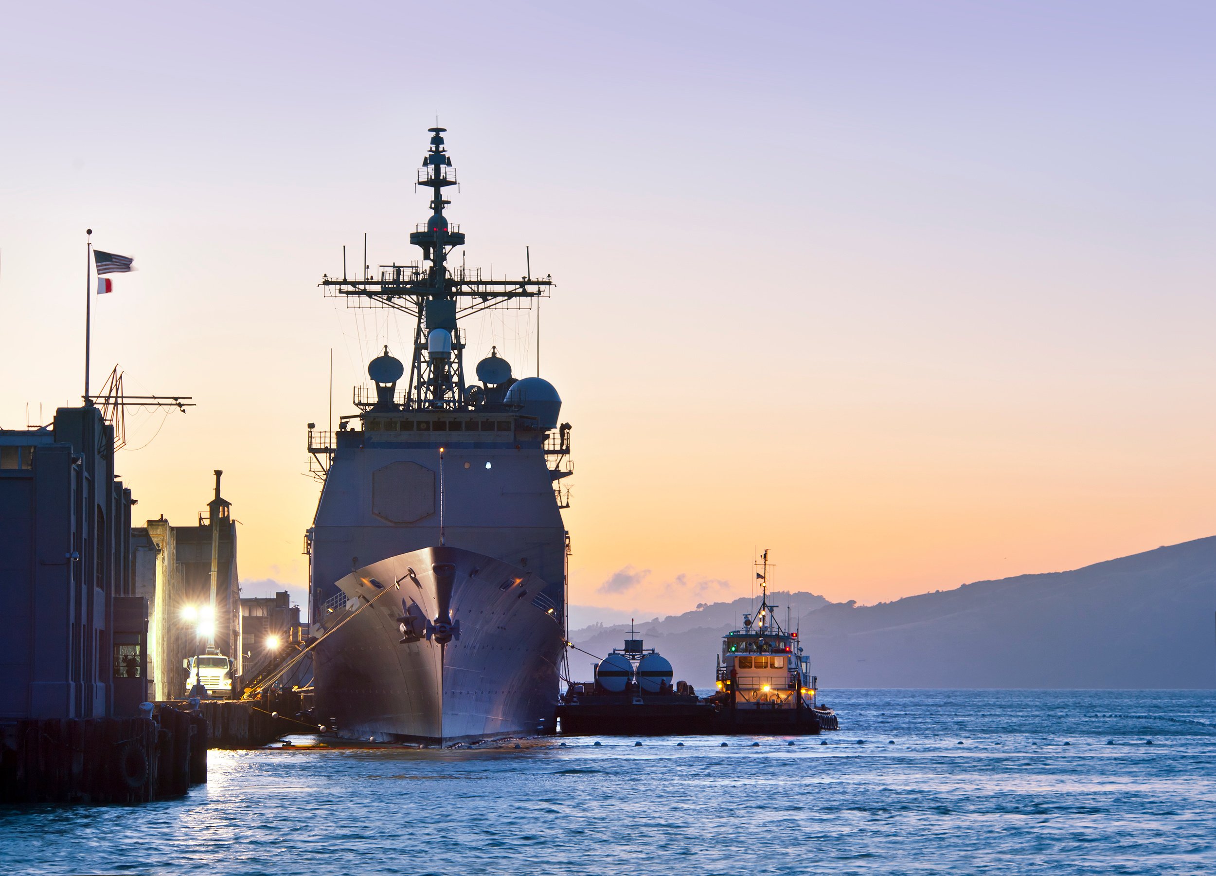
Proud to work with the Federal Government, defense industry, and allies around the world
U.S. Army
MTI has supported the U.S. Army with:
RAH-66 Comanche helicopter human systems integration
Helicopter brownout, whiteout, and degraded visual environment (DVE) technology development
Integrating advance autonomy and human factors design of Optionally Manned Fighting Vehicle (OMFV) concepts
ViPER Airborne Planning Environment (APE)
U.S. Navy and U.S. Marine Corps
MTI has supported the U.S. Navy and U.S. Marine Corps with:
ViPER Mission Planning tools, including carrier and submarine variants
LCAC Mission Planner
U.S. Air Force and U.S. Space Force
MTI has supported the U.S. Air Force and U.S. Space Force with:
ViPER Mission Planning tools, including JMPS Open Mission System (JOMS) and Weapon Planning System (WPS)
Future Operationally Resilient Ground Evolution (FORGE) Mission Data Processing Application Provider (MDPAP) missile warning and missile defense capabilities
Department of Transportation (DOT)
MTI has supported the DOT with:
Federal Railroad Administration (FRA) User-Centered Design for Rail (UCD-Rail)
Federal Aviation Administration (FAA) Systems Engineering and Technical Innovative Solutions (SETIS)
National Aeronautics and Space Administration (NASA)
MTI has supported NASA Ames with:
Vertical Lift Technology Development (VLTD)
Revolutionary Vertical Lift Technology Development (RVLTD)
United Kingdom Ministry of Defense
MTI has supported the U.K. MoD with:
Spear-3 weapon planning tools
Royal Australian Air Force
MTI has supported the Royal Australian Air Force with:
E-7 Wedgetail AEW&C Aircraft
ViPER Mission Planning tools deployed for RAAF


